|
The Tuesday Night Club Official Web Site |
The Tuesday Night Club on Tour
Irish Summer Tour 2007
29 - Ballyconnell to Belleek - Shannon Erne Waterway, River Erne, Upper Lough Erne and Lower Lough Erne.
Thursday 19th July 2007
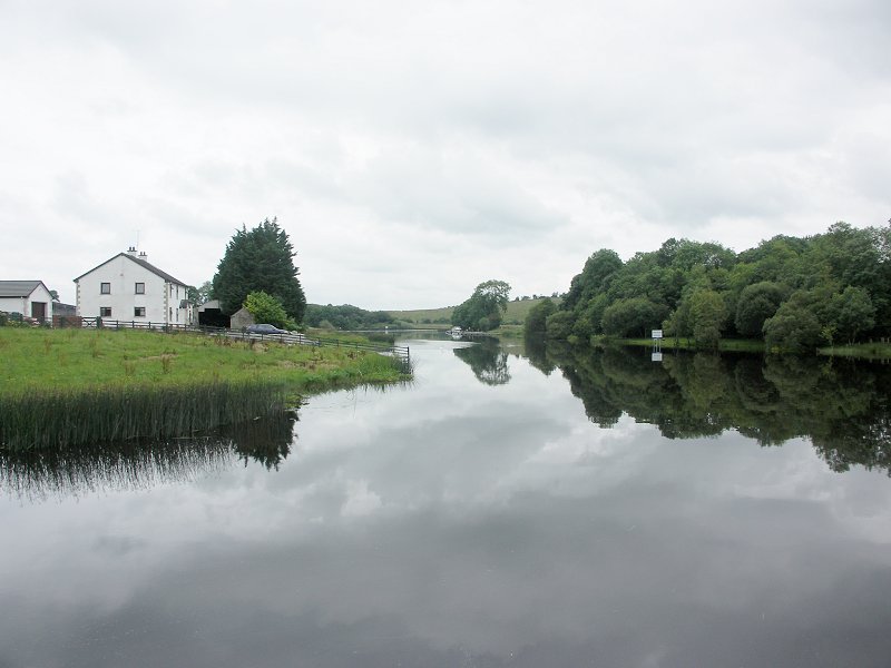
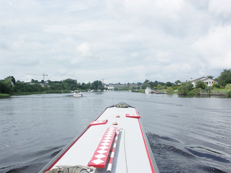
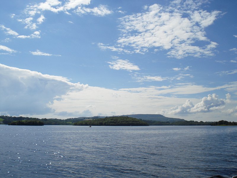
It was a 09:15 start from Ballyconnell, we left the Shannon - Erne Waterway at 11:00 and proceeded through Upper Lough Erne. After rounding the
tiny Gad Island (large tower), with Crom Castle Estate to the right (north), we went past Trial Bay to the left (west) and Insherk Island to the right (north). Trial Bay jetty could be seen to the north of
Trial Bay. After this we took the south route round Dernish Island and passed Geaglum jetty on the south west shore of Upper Lough Erne. The next small Island on our right (north east) was Inish Rath, from here the only navigable route through the lough took us under the Lady Craigavon Bridge. From here we continued our route to the south west shore of the lough, so we went to the south west of
Trannish and Inishcrevan Islands. Tirraroe Jetty on the north shore of the lough was passed, as we went round the Inishcrevan Island. From here on the navigable channel passes between Inishlught Island (not navigable on the inside) to the left (west) and Aghinish Island to the right (east).
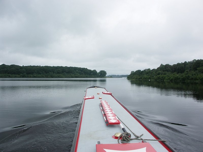
Once we had rounded Inishlught, we headed to the south of Naan Island and between Inishlirro and Doocham Islands, to pass Knockninny, with it's
marina. Creaghnarourk Island was passed on the lake side (shallow water on the inside), then we headed out of Upper Lough Erne via the west route. By the time we got to "The Viaduct" road bridge to the large Inishmore Island, the course became more river-like, one of two convoluting courses the River Erne takes out of the lake. The next item of note was the entrance of the Arney River from the west. There are supposedly some bankside moorings, just up the start of the river. The river takes two courses when it comes to Knock Island, to the east it carries on round Inishmore Island and to the west it carries on down towards Enniskillen. Just before the junction are the Cloonatrig Jetty to the west and Tully / Inishmore Jetty to the east. Once past Knock Island, we kept to the west of Cleenish Island, going through the centre arch of the Cleenish Bailey Bridge. After a mile, the other course of the River Erne comes in round the top of Cleenish Island.
Bellanaleck is the first village on the west bank of this River Erne section, with the Erne Marine moorings and a little further on, Visitor moorings for "The Moorings" restaurant. With the river following a meandering course, the next "Rowing Course" moorings, opposite Inishkeen, were on the west bank. The next item of note was the Killyhevlin Hotel on the east bank, with moorings. Tucked in a bend of the river is the Ardhowen Arts Centre, to the east, with pontoon visitor moorings. Just before this are the tall piers of a dismantled railway viaduct.
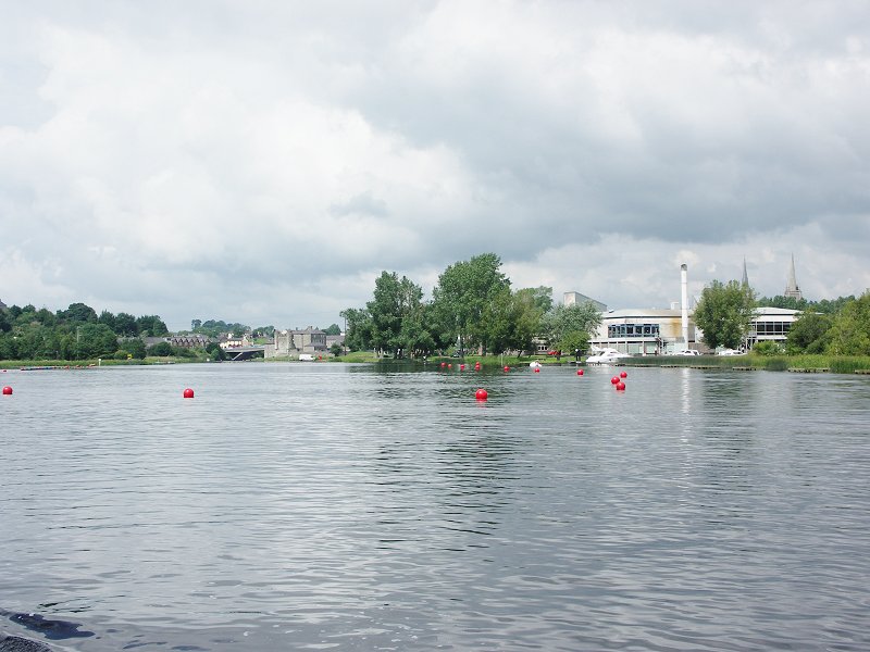
Finally we came to the outskirts of Enniskillen at 15:00. The river course had been buoyed off for
water sports, so we had to take the west course round Castle Island, opposite the well known turreted Enniskillen Castle. Before the marked out
water sports course, there was a route left clear round to the Broad Meadow pontoon visitor moorings, by the Forum leisure centre. This course is due to the Erne
bifurcating at this point, the main, old centre of Enniskillen being on an island.
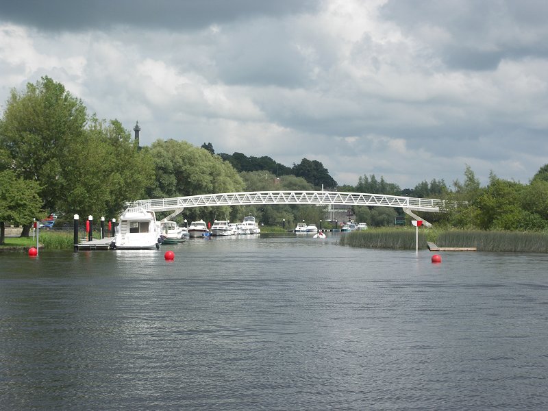
Once past the castle, with the Henry Street Jetty on the west bank, our course took us under the newer Castle Bridge, then the Erne West Bridge. Once past the bridges and some rather towering waterside apartments the other course of the river comes in from the east, with some moorings on the "island" side. A
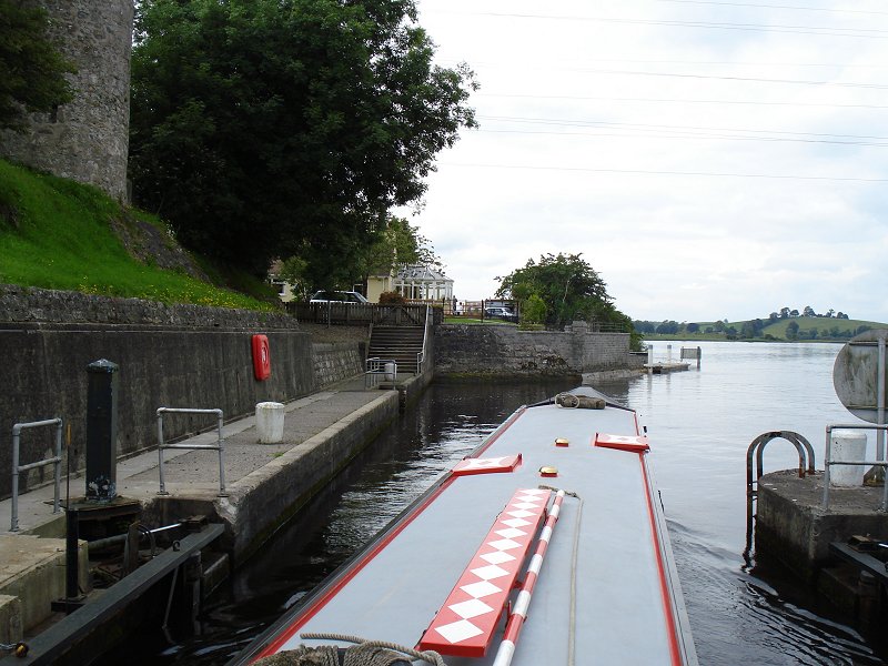
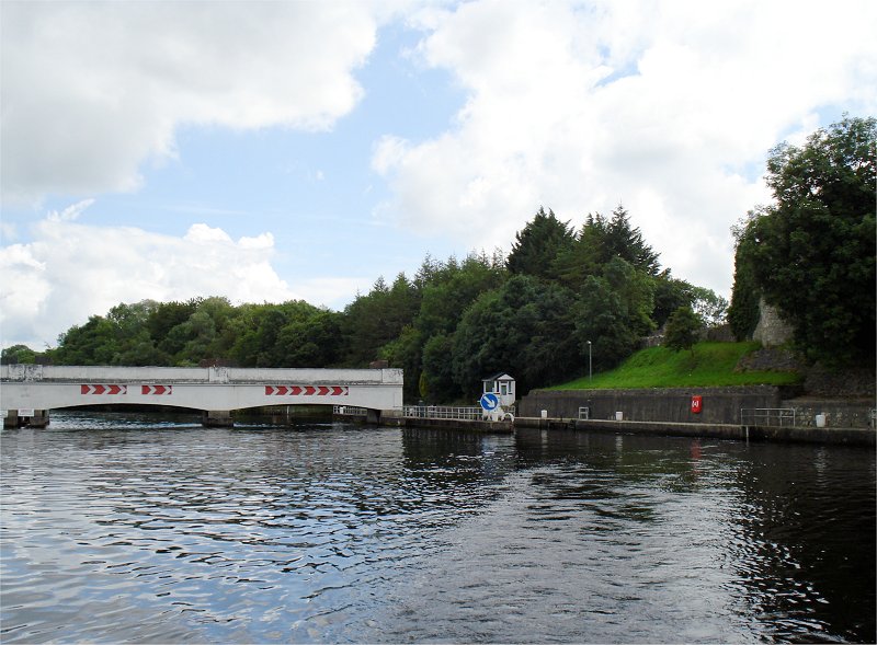
little further on are the Round "O" moorings on the west bank. There is a facilities block here, the downstream moorings being reserved for trip boats. Rounding a bend we finally left Enniskillen behind and Portora Weir and lock appeared before us.
The weir gates (arches to the east) are normally raised, so the lock to the west of this structure is normally kept in a "straight through" condition.
They would be up usually from February to October and the latter half of
December, so you can see they're only usually down for less than 3 months each
year. However, during the flood season the Rivers Agency drop the weir gates to
allow the Lower Lake to fall by about 450mm relative to the Upper Lake, and at
that moment the lock gates come into operation. The purpose of this is to create
a better hydraulic gradient between upper and lower lakes so that during the
winter floods the Rivers Agency can discharge the upper lake water quicker into
the lower lake; but the gates are closed to retain enough water in the upper
lake (which is quite shallow) to permit navigation on it.
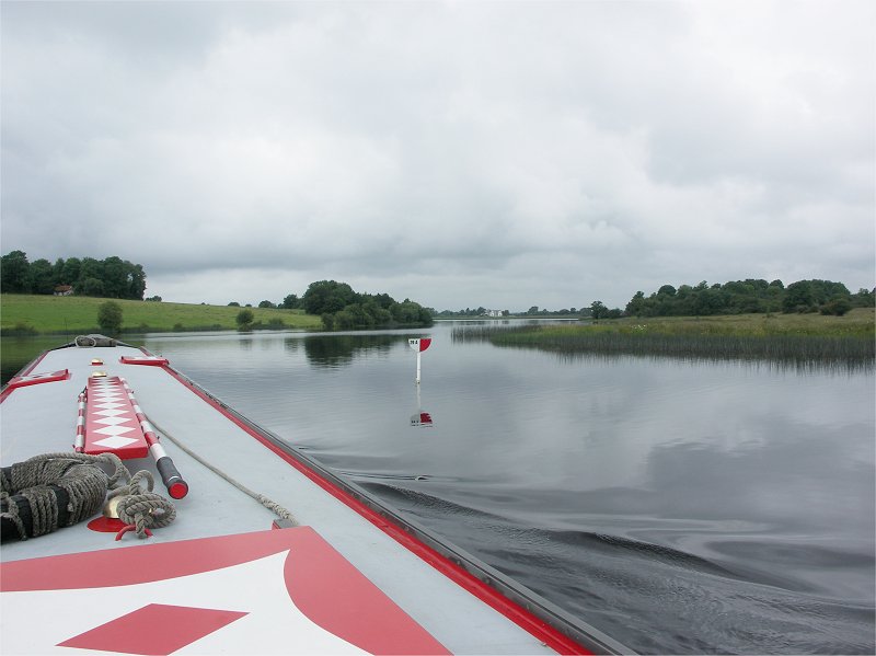
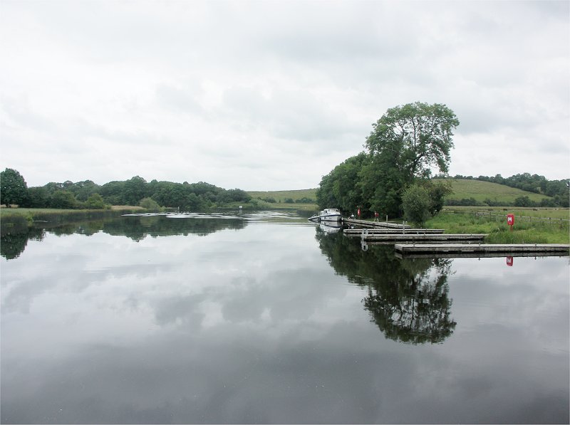
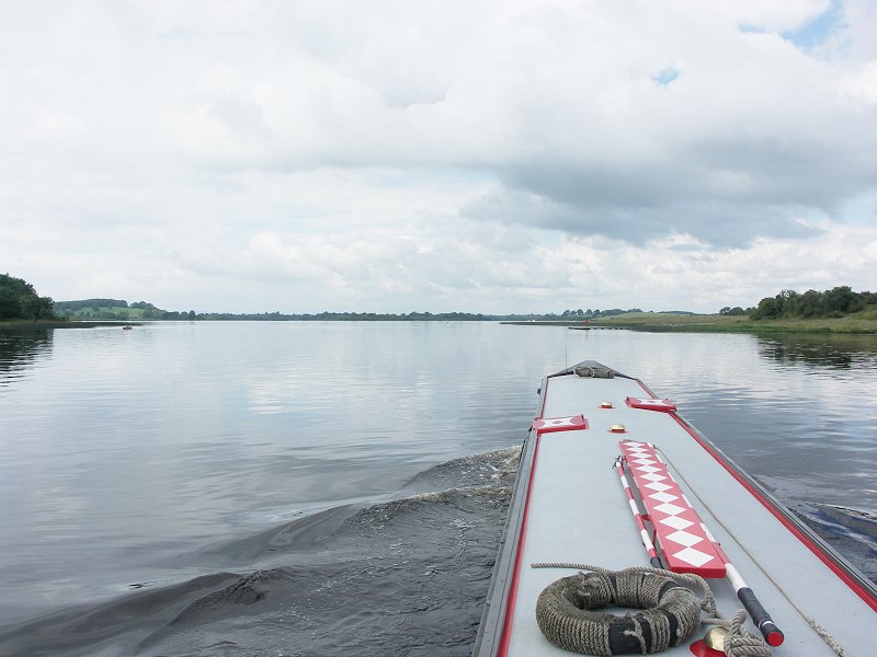
It was quite tight turns to get in and out of the lock chamber, as it is inset to the side. Once through Portora Lock, we were now on Lower Lough Erne. We decided that with low winds we would go for the far end of Lower Lough Erne, Belleek Harbour that night, so it was to be the most direct, westerly route through the many islands in the upper section of Lower Lough Erne.
This took us to the west of Devenish (with its religious settlement ruins and jetty), Trasna, Car, Ferny, White, Long, Paris Little, Paris Big and Inish Free Islands. From here it was between Inish Fovar, Gull Islands (to the west) and Inish Divann and Inish Dorney Islands (to the east). Beyond here our course took us to the east of Inishmacsaint (jetty) and Rabbit Islands and to the west of Owl
Island. Once past Rabbit Island, we could see into Tully Bay and the Errincurragh Jetty, home to
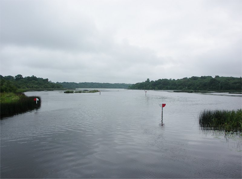
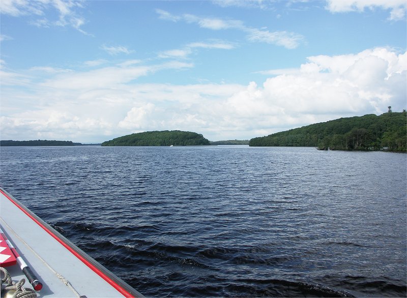
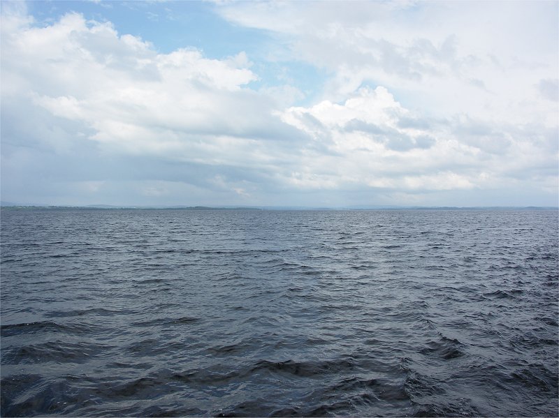
a marina and the Drumcrow public jetty. Keeping well clear of the markers protecting rocks out in the centre of the lake, we made a bee line for Heron Island, the last island on the south section of the lake, before we entered the wide, exposed lower section of the lake. Rounding markers 57A and 57A1 protecting Heron Island, it was make or break time (17:00) for going for Belleek, the weather was OK, so we went for it.
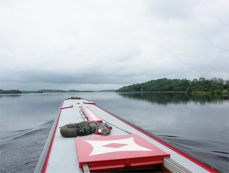
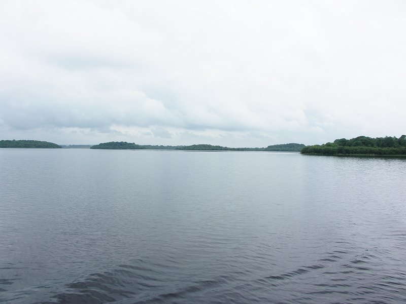
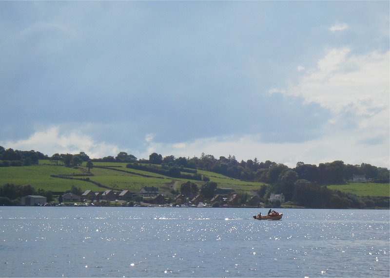
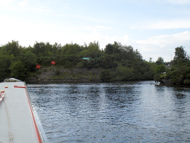
This really is a wide expanse of water, once past the old Shean Jetty, we hugged the south coast of the lake, in the shadow of the rather impressive Cliffs of Magho. There was a small exposed jetty here, to visit the cliffs. At 18:15 we passed the big white cairn marker on Cannoges Islands to the north as we begun the convoluted exit from Lower Lough Erne. The basic route still followed the south shore, passing Ned's, Ferny and Muckinsh Islands. From here the course goes round Muckinsh Island, then heading north, until the River Erne exit from the lough is found. At this point, on the north bank is the small Roscor visitor pontoon.
From here on the River Erne takes on a slightly dreary feel, quite wide, with high banks, with a fair flow in a couple of places. The Roscor Viaduct, a spindly concrete affair is the next thing we passed, the collapsed outer span being replaced by a Bailey bridge section. Come some 4 miles of the river we approached Belleek. The entrance to the harbour is quite hard to spot, a tight turn to the right (north). Luckily there was the long pontoon free and we tied up, after winding at 19:15. Feeling rather peckish after our long haul, we legged it the 15 minutes into town and found the Carlton Hotel, right by the bridge. This establishment was a good bet, a nice meal in the restaurant, with a 2 for the price of one deal (set menu £29:50) on that night. After the meal we wandered around town, observing the impressive Belleek Pottery building, by the bridge.
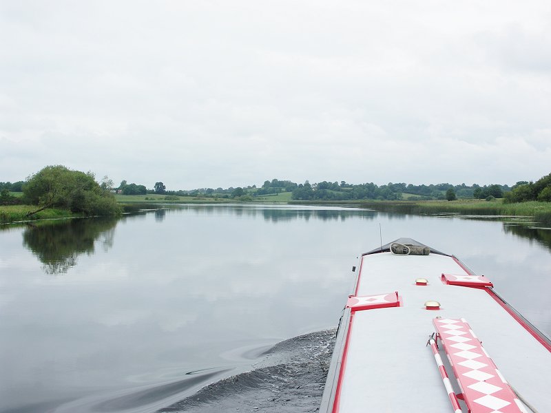
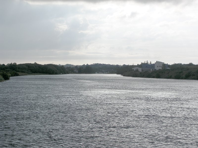
The bottom of Woodford River and the Shannon - Erne Waterway, where it reaches
Upper Lough Erne.

Crom Castle Estate, the "new" castle, not open to the public. Upper Lough Erne.

Looking up Trial Bay. Upper Lough Erne.
Inisherk to the right (north). Upper Lough Erne.
Neil's tired already! Upper Lough Erne.

Geaglum moorings. Upper Lough Erne.

Inishrath. Upper Lough Erne.

Inishrath. The Hare Krishna visitor centre moorings. Upper Lough Erne.
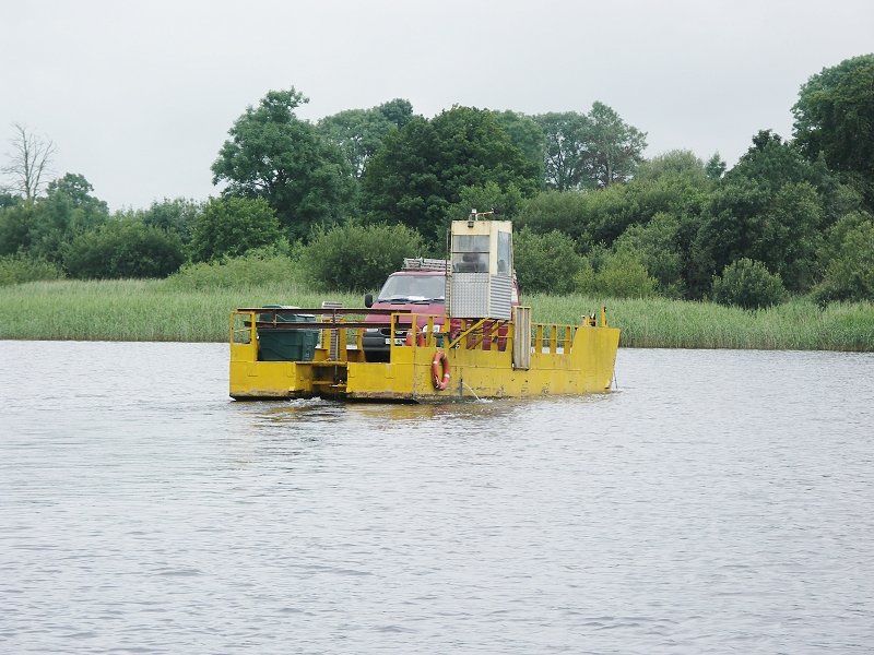
The Inishrath ferry. Upper Lough Erne.

Looking across to the Lisnaskea Boat Club. Upper Lough Erne.

Looking back at Lady Craigavon Bridge. Upper Lough Erne.

Corradillar moorings. Upper Lough Erne.

We are heading for the course round the bottom (west) of Trannish. Upper Lough
Erne.
Trannish Island to the right (west). Upper Lough Erne.

Tirraroe moorings (telephoto shot). Upper Lough Erne.

Tirraroe moorings. Upper Lough Erne.

Heading between Inshlught and Aginish. Upper Lough Erne.

Looking across to Inishcorkish (to the right, east). Upper Lough Erne.

Naan Island West to the right (north). Upper Lough Erne.
Naan Island West to the right (north). Upper Lough Erne.

Heading down to Knockninny. Inishlirroo Island dead ahead. Upper Lough Erne.
Looking across to Deal Island and Inishfausy (background) and the end of Naan
Island West (to the right). Upper Lough Erne.

Looking across to Knockninny marina and public moorings. Upper Lough Erne.

Looking back at Knockninny. Upper Lough Erne.

Staff Island to the right (north), we take the lower course of the River Erne,
to the west of Inishmore. Upper Lough Erne.

The lower course of the River Erne, to the west of Inishmore. Upper Lough Erne.

The lower course of the River Erne. "The Viaduct". Upper Lough Erne.

Looking back at "The Viaduct". Upper Lough Erne.
The lower course of the River Erne, to the west of Inishmore. Upper Lough Erne.

The lower course of the River Erne, to the west of Inishmore. Looking up the
Arney River. Upper Lough Erne.

The lower course of the River Erne, to the west of Inishmore. Upper Lough Erne.

The lower course of the River Erne, to the west of Inishmore. Upper Lough Erne.

Cloonatrig moorings. The lower course of the River Erne, to the west of
Inishmore. Upper Lough Erne.
The lower course of the River Erne, to the west of Inishmore.
Tully moorings. Ahead is the channel round the bottom of Knock Island. The lower
course of the River Erne, to the west of Inishmore.

We turn left, to the west of Knock Island. River Erne.

Looking back at Cleenish Bridge. The west channel round Cleenish / Knock
Island. River Erne.

Looking back at the two channels round Cleenish Island. River Erne.

Bellanaleck moorings. River Erne.

Visitor moorings for "The Moorings" restaurant to the left, private
marina to the right. River Erne.

"Rowing Course" moorings, opposite Inishkeen. River Erne.

Killyhevlin moorings for hotel. (The nearest moorings are for water skiers) River Erne.

Approaching Ardhowen. River Erne.

Ardhowen moorings for the theatre. River Erne.
Ardhowen moorings for the theatre. River Erne.
Approaches to Enniskillen. River Erne.
Enniskillen. To the right is the entrance to the Forum / Broadmeadow visitor moorings,
beside the leisure centre. River Erne.
Enniskillen. Looking across to the Broadmeadow visitor moorings. River Erne.

Enniskillen. We have to take the lower course, round Castle Island. River Erne.

Enniskillen. Henry Street Jetty. River Erne.

Enniskillen. Castle Bridge, then Erne West Bridge and the castle. River Erne.

Enniskillen Castle. River Erne.

Enniskillen. Erne West Bridge. Rather a tight turn, with the flow, as Waterways
Ireland have blocked off part of the navigation for water sports. River Erne.

Enniskillen. Looking back at Erne West Bridge. River Erne.

Enniskillen. Looking down to Portora. River Erne.

Enniskillen. Looking back at Erne West Bridge and the Round "O"
moorings. River Erne.

Portora Weir and Lock, as usual in the summer months it is straight through the lock. River Erne.

Portora Lock. River Erne.

Portora Lock. River Erne.
Portora Lock. River Erne.
Looking back at Portora Lock. River Erne.

Devenish Island to the right (east). Lower Lough Erne.

Looking across to the easterly route round Devenish Island. Lower Lough Erne.
Devenish Island to the right (east) and Devenish West moorings. Lower Lough Erne.

Devenish West moorings. Lower Lough Erne.

Devenish Island, the round tower. Lower Lough Erne.

We head for the west route round White, Ferny, Car and Trashna Islands. Lower
Lough Erne.

Rounding White Island (to the right / east). Lower Lough Erne.

Long Island to the right (east). Lower Lough Erne.

We travel to the left / west of Paris Little Island and Long Island. Between, on
the far shore, you can see the Lough Erne Yacht Club. Lower Lough Erne.
We travel to the left / west of: Inish Divaan, Inish Fee, Big Paris Island and
just visible, Paris Little Island. Lower Lough Erne.

Looking back at Inish Fee, Big Paris Island and Paris Little Island (in front of
Long Island). Lower Lough Erne.

Taking the left (west) channel we can see, from left to right: Tip of Ely
Island (headland), Inish Fovar, Gall Island, Inish Doney, tip of Inish Divaan
and Inish Fee. Lower Lough Erne.

Looking across at the gap between Inish Divaan and Inish Fee at Horse and Hay
Islands, Manor House Marine is beyond (white building). Lower Lough Erne.

Looking across between Inish Doney and Inish Divaan. Lower Lough Erne.

Passing between Inishmacsaint and Goat Island. Lower Lough Erne.

Looking left (west) across to Rabbit Island. Lower Lough Erne.
Looking left (west) across to Tully Bay moorings and hire base. Lower Lough
Erne.
Looking left (west) across to Tully Castle moorings. Lower Lough Erne.

We are aiming to go round Heron Island, the last of the lower lake islands,
before heading westwards to Belleek. Lower Lough Erne.

Rounding Heron Island. Lower Lough Erne.

Looking back from Heron Island. Lower Lough Erne.

Looking back at Heron Island. Lower Lough Erne.

Looking across eastwards from Heron Island at the multitude of markers
protecting rocks in the mouth of the lower part of the lake. Lower Lough Erne.

The Cliffs Of Magho. Lower Lough Erne.

Looking back eastwards from the Cliffs Of Magho. Lower Lough Erne.
Looking back eastwards from near the western end of Lower Lough Erne. Boa Island
in the distance.

Looking back at the Cliffs Of Magho. Lower Lough Erne.

The rather exposed Cliffs Of Magho visitors jetty. Lower Lough Erne.

Approaching the western end of Lower Lough Erne.

Looking back at the Cliffs Of Magho from the western end of Lower Lough Erne.

The white cairn marker protecting Rough Island and Crannoges marks the channel
of the River Erne into Belleek. Lower Lough Erne.

Looking back from the western end of Lower Lough Erne.

Looking back from the western end of Lower Lough Erne.

The final section of the River Erne down to Belleek. Looking back towards Lower
Lough Erne.
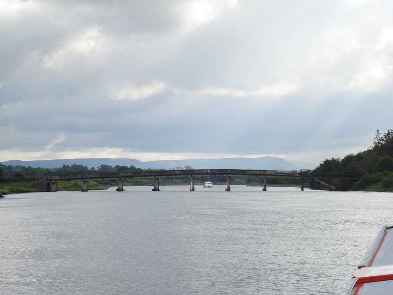
Looking back at the Roscor Viaduct, the A46 Road Bridge. River Erne down to Belleek.
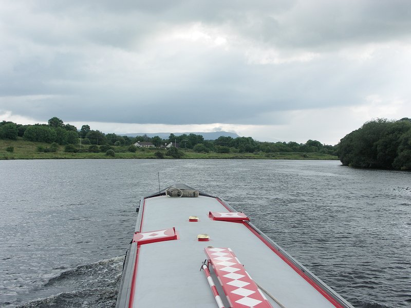
River Erne down to Belleek.
River Erne approaching Belleek.
Leaving the River Erne and entering Belleek Harbour.

The Erne Bridge in Belleek.

Hotel Carlton from Belleek Bridge.

Belleek Pottery from the Belleek Bridge.

The Carlton Hotel to the left. View into town from Belleek Bridge.

Belleek.

Belleek Harbour. Slipway.

Belleek Harbour.
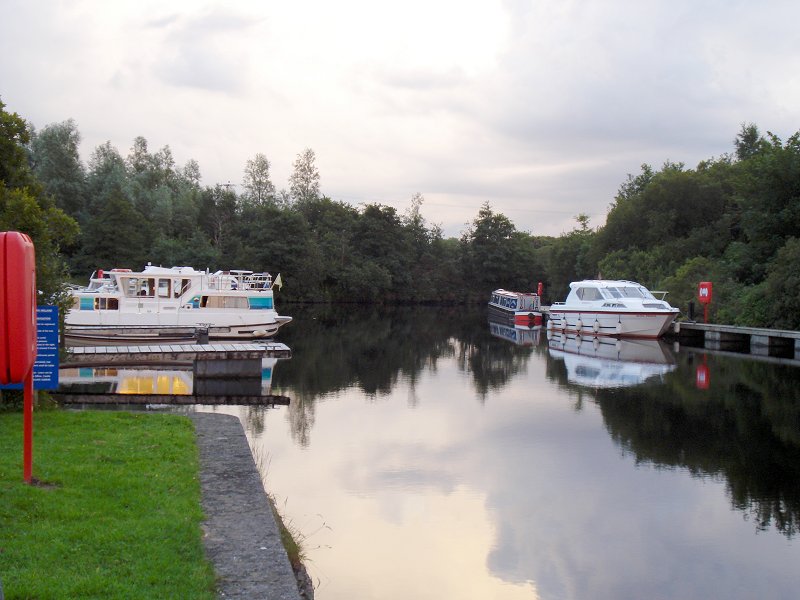
Belleek Harbour.
Home Page | "Earnest" | "Beatty" | Canal Restoration