|
The Tuesday Night Club Official Web Site |
The Tuesday Night Club on Tour
Tour 2004
20 - Surfleet-Seas-End to Denver. Tidal River Welland Outfall, The Wash and Tidal River Great Ouse Outfall.
Tuesday 8th June 2004
There was a change of plan, due to good weather we decided to do the proper Wash passage, Welland to Kings Lynn and up the tidal Great Ouse to Denver. John got round Richard Creasy the Surfleet Sluice keeper and got a print out of the latest Lynn Channel and buoy positions
off the internet and programmed the GPS. Neil got Earnest seaworthy. Ed had to leave to get back to his job.
The tide was late again and eventually we got out of the sluice at 12:13. We decided to do the trip on virtual tickover to avoid beaching on Roger Sand, just off the Freeman Channel. The weather was perfect and we
decided to loose the time by going out to the centre of the Wash and go round
the "Roaring Middle" buoy.
The tide turned at around 16:45. Well...after the tide turned so did the wind! The SW
Force 3 had quite a reach of deepish water from the Boston corner of the Wash and we were taking it virtually beam on, so we decided to motor on into the Bulldog Channel, which has been the way into the Lynn Channel for the last year, different from John Chapman's last exploits "rescuing"
James Griffin's narrowboat "Ocean Princess".
Once in channel we were protected by the still exposed sands, things calmed down, but we had to go in on tickover, sometimes out of gear, to avoid running ahead of the flood. This was very
necessary because we were heading straight up the shallow, silted and generally poor condition Great Ouse above Kings Lynn.
There were a good few fishing boats about, we imagine fishing for cockles or mussels. Also present on the Stylemans Middle Sand were a large colony of seals, we were amazed at the differing colour of these animals. As we approached the new part of the Bulldog Channel (that cuts right through Pandora's Sand in a narrow VERY
buoyed channel) the largest of the fishing boats pulled off in front of us, also on tickover. We lost some more time by drifting in on the flood out of gear, but were
intrigued when the fishing boat stopped, with the Captain and his mate swigging
tea. At that point we grazed an underwater ridge, so realised that the fishing boat was aground. When we came up to the fishing boat the captain pointed to the left
(deeper water) and we needed a boot of power to get over and miss the boat. The captain and mate said that it did not get any deeper
further on at this state of flood and to take it as slow as possible. They also said that their draught was 4-5ft.
After this we had no more problems and came into the training wall protected Lynn Cut. Soon another smaller fishing boat caught us up and was the first boat into Kings Lynn. The Fish Dock channel was
completely silted up and we watched with amusement as the powerful little "Boy Steven" blasted his way in, doing a bit of self help dredging. There was no hope of taking a waiting buoy just before the by-pass bridge, the surging tide put an end to that! It was now getting dark and we came in up the Ouse
Outfall out of gear as much as possible. About half way along the tidal section to Denver the bow started dragging the bottom, Neil jumped to the controls and managed to keep Earnest slewing along in the right direction, before we hit deeper water.
It was a long slow passage up from now on, but we kept clear of the bottom. Around midnight we passed the familiar sight of Salter's Lode cut, onto the Middle Level and the sodium light lit Denver Sluice came into view. Mike Fairweather, the chief Denver Locky warned us that the silt
spit in front of the waiting pontoon was MUCH worse that the small island present on our last visit and that it was
just about to be grab line dredged. He told us to aim for carrying on up the New Bedford, then at the last moment power
our self out of the flood across the sluices and end up on the short pontoon the wrong way round.
Neil took controls for this and after getting out of the almost whirlpool, we were
in slack water in front of the sluices. With help from the bowthruster, we gingerly turned the bow round and reversed back onto the pontoon (00:22). After a quick tie up on loose ropes we quickly readied our selves for bed.
The Kings Lynn Conservancy Board Website has an up to date chart of the approach channels to King's Lynn and some interesting pictures.
CLICK HERE for link
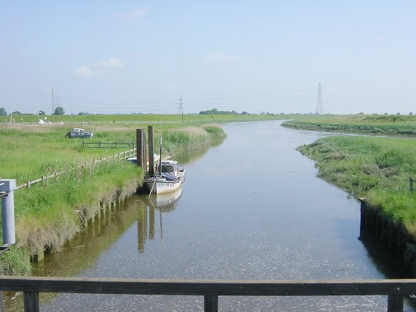
Looking down the tidal River Welland from Vernatt's Drain Sluice. This is just
upstream from Surfleet Sluice

The first rising tidal level being made at Surfleet Sluice. River Glen.

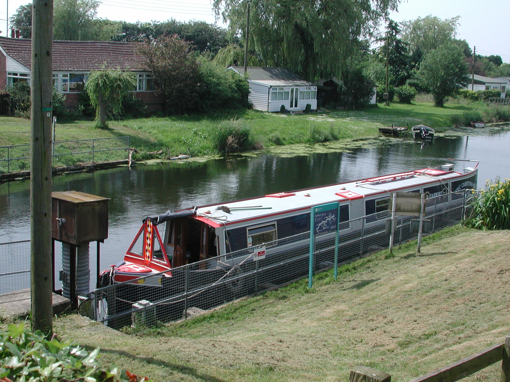
Our rather obstructed with security fencing mooring waiting for the tide at
Surfleet Sluice. River Glen.

Surfleet-Seas-End.

The rebuilt The Ship Inn at Surfleet-Seas-End. River Glen.
Our rather obstructed with security fencing mooring, waiting for the tide at
Surfleet Sluice. River Glen.

Off out to sea! leaving Surfleet Sluice on a falling tide.
Leaving Surfleet-Seas-End and out into the tidal River Welland.

Fossdyke Bridge. Tidal River Welland Outfall.

Fossdyke Bridge. Tidal River Welland Outfall.

Approaching the EA Stone Quay. Tidal River Welland Outfall.

EA Stone Quay. Tidal River Welland Outfall.

Couple of locals investigating the seal colony in a break in the training wall.
Tidal River Welland Outfall.

Coming down to Tabs Head. Tidal River Welland Outfall.
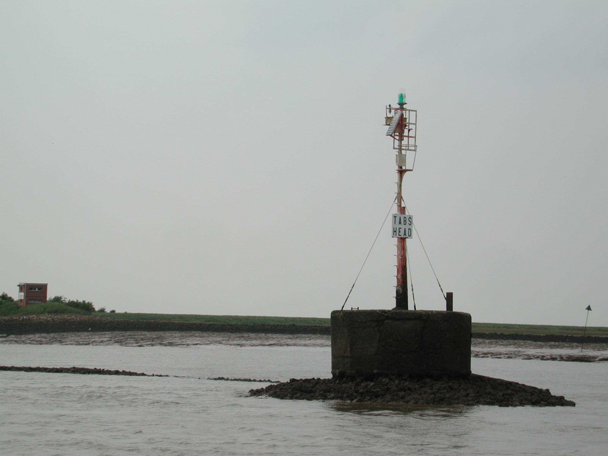
Tabs Head.
Tabs Head. Welland Outfall to the left, Witham Outfall to the right
![]()
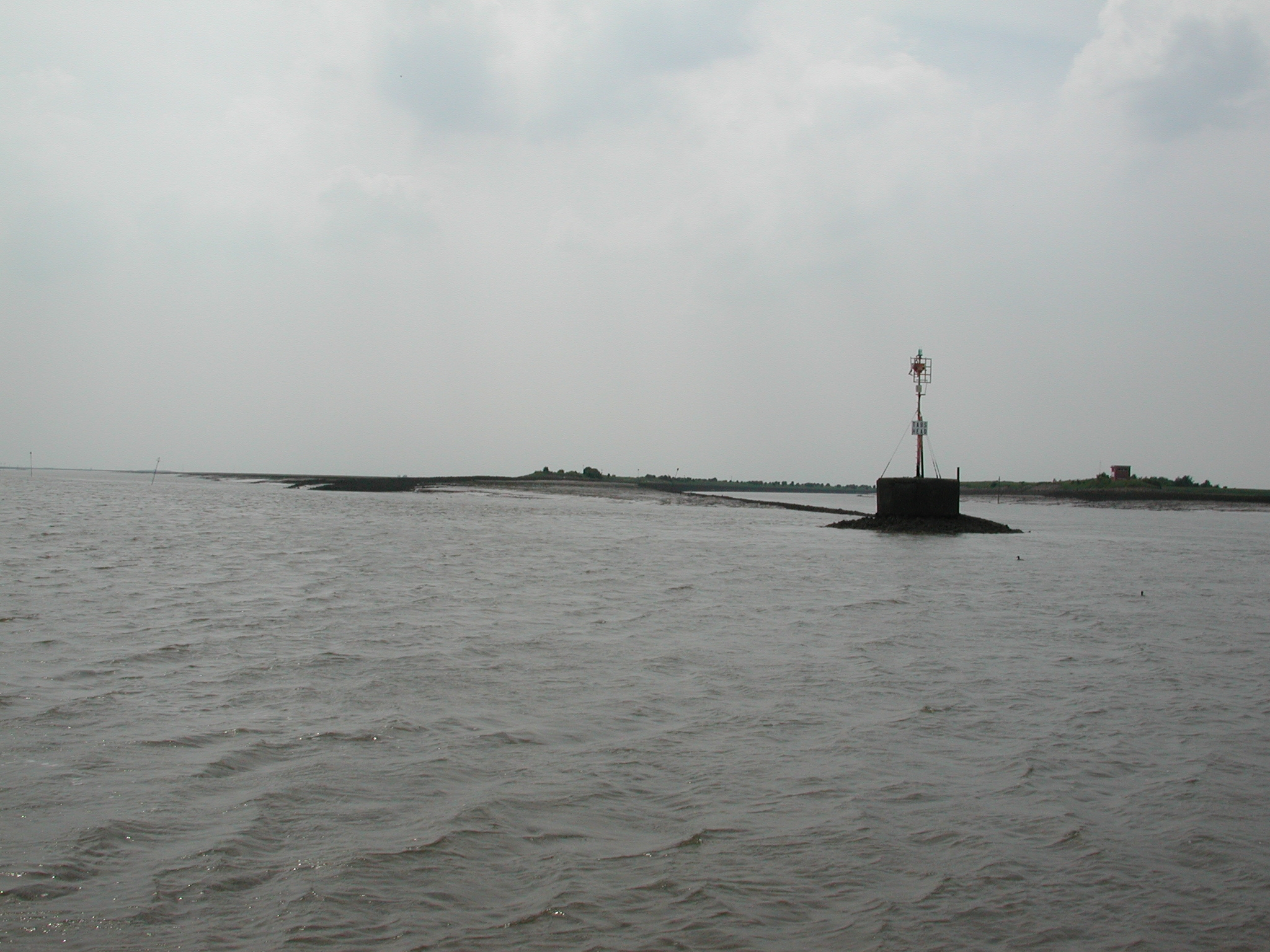
Looking back to Tabs Head. Welland Marker to the left on end of training wall.
Dolly Peg Marker to extreme right.
![]()
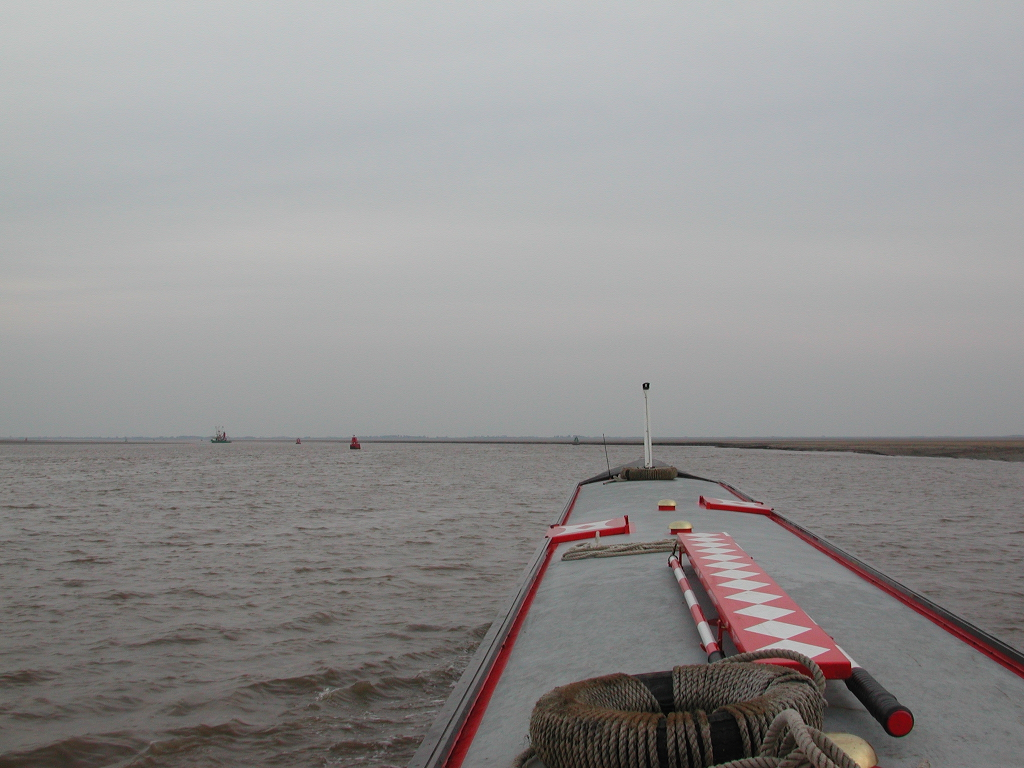
In Boston Lower Road Channel. Yellow Cardinal buoy ahead is Freemans Inner,
marking the outer edge of the Freeman Channel. We have to steer between this
buoy and the Delta Buoy to the left.

Coming up to Freemans Inner. To the left Roger Sands can be seem to be
appearing. It was a clear enough day to see the old lighthouse at Hunstanton.
The Wash.

Freemans Inner Buoy. The Wash.

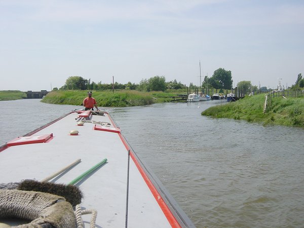
Martin Clark and John Chapman - happy smiley tidal narrowboaters! The Wash.
![]()
Looking back. Boston Stump dead centre. The Wash.

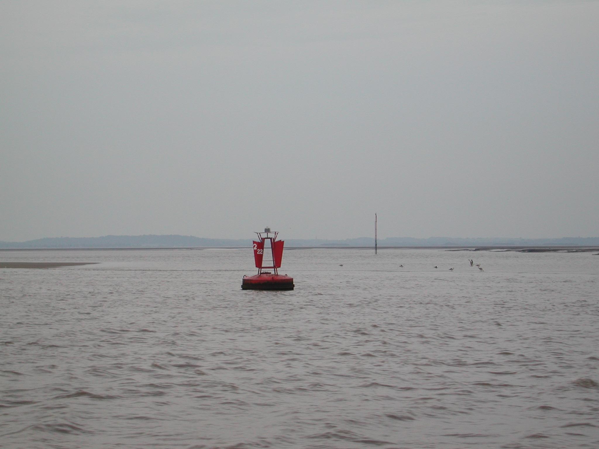
Boston No1 Buoy. This marks the start of the Freeman Channel. The Ants / Long
Sands can be seen drying out beyond. The Wash.

EA Survey Vessel "Water Guardian". The Wash.

Coming back from our seaward arc round the Roaring Middle light float. The Wash.

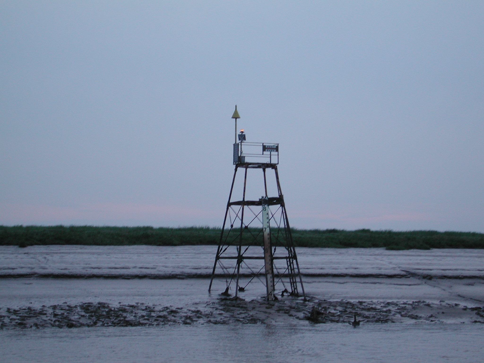
Roaring Middle light float. The Wash.
![]()
Looking across to Hunstanton. The Wash.

Hunstanton from the air. Old lighthouse to the bottom RH corner.

The "Bardsey" tanker, registered in London, waiting for near high
water and pilot to take it into Kings Lynn. The Wash.

looking back at Hunstanton. The Wash.

Looking across to Ken Hill, Snettisham is just beyond this. The Wash.

Coming up to No 5 Bulldog Channel Cardinal buoy, the start of the way in to
Kings Lynn through the sands.

Bulldog Channel Buoys No 6 and 7. Bulldog Channel.

Bulldog Channel Tide Gauge. Bulldog Channel.
![]()
Masses of multi coloured seals on Stylemans Middle Sands. Bulldog Channel.

Bulldog Channel. Buoy 8. Buoys 10 and 11 beyond mark the start of the new
Pandora Channel. We have picked up this fishing
boat coming in VERY slowly........we follow suit.
Buoys 12 and 14 (red) and 15 (green). The New Pandora Channel.

Buoy No 13....not far between channel and sands! The New Pandora Channel.
![]()
Buoy No 17. Buoys Rand S beyond, the most torturous part of the channel. Buoys
20 and 21 in distance. The New Pandora Channel.
![]()
Looking back at Buoys 16 and 17. The New Pandora Channel.
![]()
Buoy R, Buoy S opposite this was moved within a couple of weeks of our passage,
showing how quickly the channel changes. Buoys 20 and 21 beyond. This is the
tightest bit of the channel in a new tidal cut straight across the old Pandora
Sand. The New Pandora Channel.
Buoy 22. The New Pandora Channel.

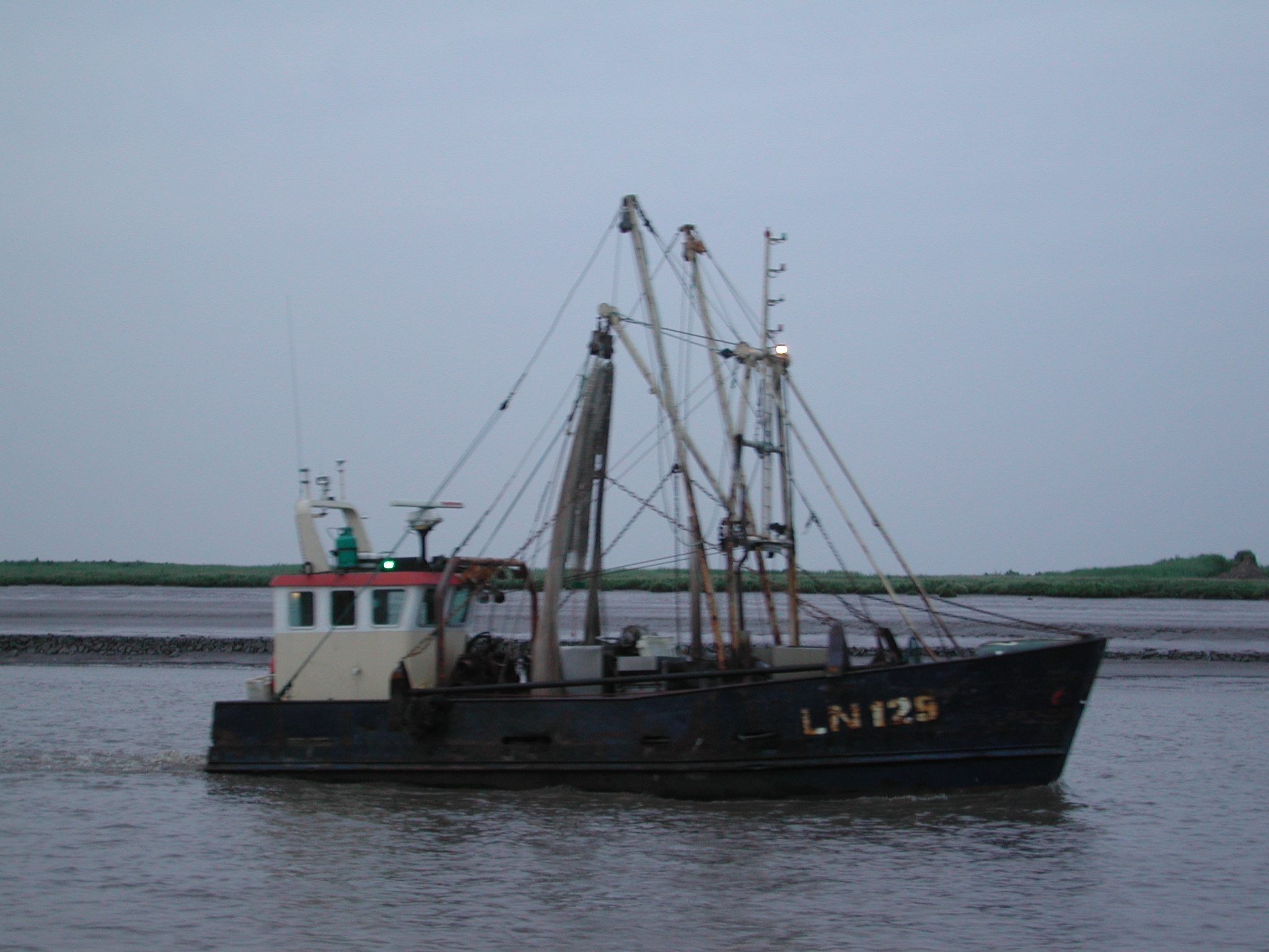
Buoy 23. The fishing boat has stopped! Lynn Channel.

Finally in the training wall protected Lynn Cut.
Lynn Cut Tide Gauge.

Lynn Cut. Kings Lynn comes into murky view in the fading light.

Looking back down Lynn Cut and the "Boy Steven" fishing boat
determined to be the first boat into port.
The "Boy Steven".

Kings Lynn. The "boy Steven" has swung and is about to blast its way
into the silted up fish dock, which is to the downstream end of the piled dock
wall. Lynn Cut.

Looking back down the Lynn Cut. A sailing boat is coming in.

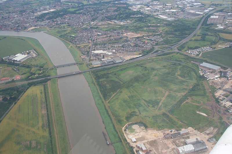
The Great Ouse Outfall from the air.
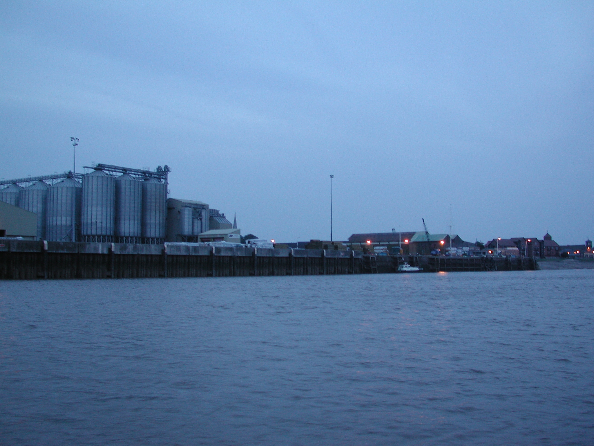
Kings Lynn Docks. Great Ouse Outfall.

Kings Lynn Docks. Great Ouse Outfall.

Kings Lynn Docks. The pilot cutter has yet to go out to bring the Bardsey in.
Great Ouse Outfall.

Kings Lynn Docks from the air.
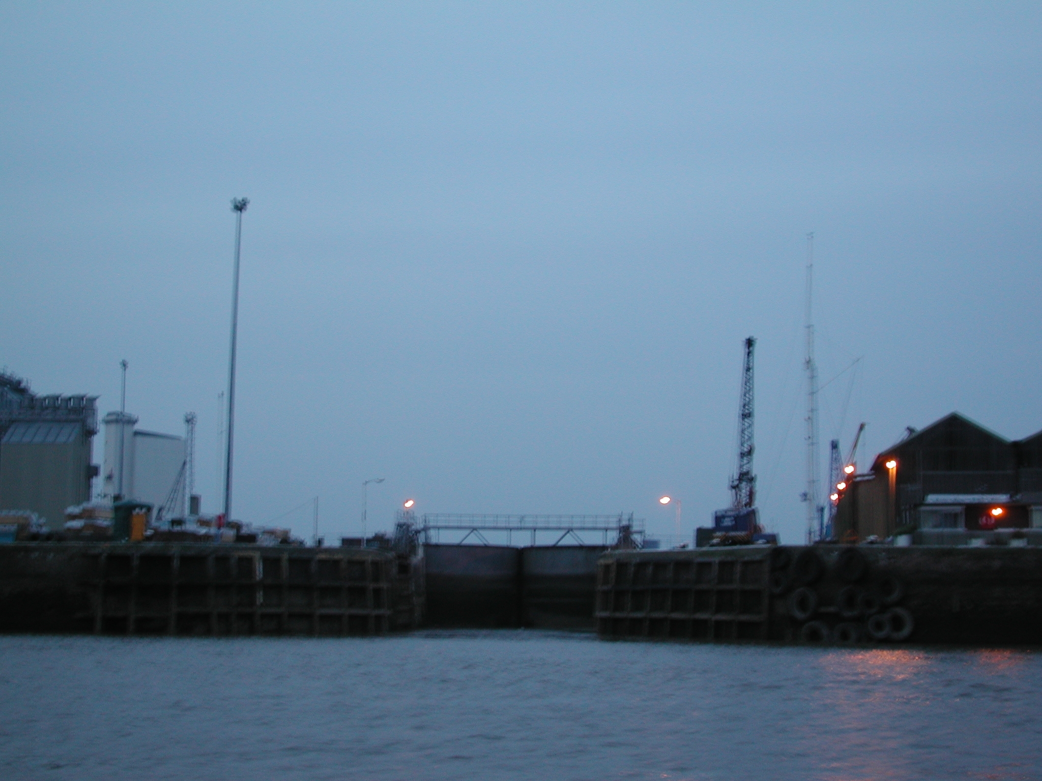
Radial entrance gates into Kings Lynn Docks. Great Ouse Outfall.

Kings Lynn. The Lynn Conservancy Board Offices. Great Ouse Outfall.
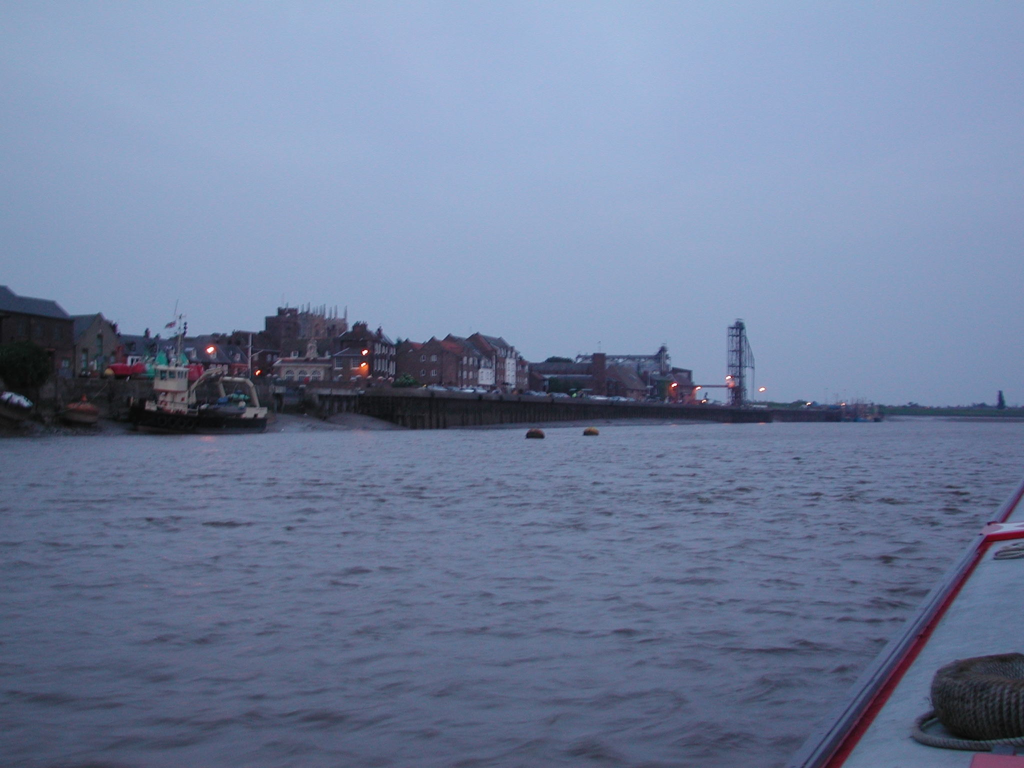
Kings Lynn. Great Ouse Outfall.

Kings Lynn. Great Ouse Outfall.

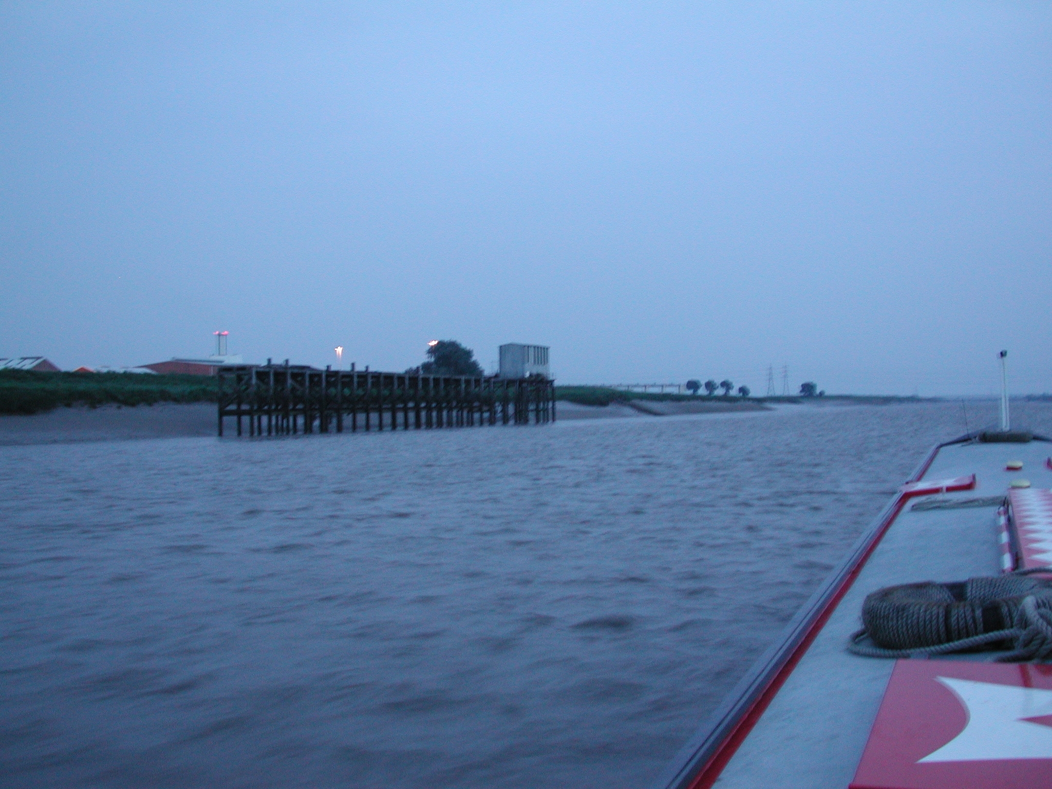
The exit of the River Nar into the Great Ouse Outfall.

Kings Lynn by-pass bridge. Great Ouse Outfall.
Great Ouse Outfall just above Kings Lynn. River Nar exit just beyond corner,
Kings Lynn Bridges. Sugar plant to the south.
Sugar plant and exit of the Great Ouse Cut-Off Channel beyond. Great Ouse
Outfall.

Wiggenhall St Germans Bridge and riverside pub. Great Ouse Outfall.
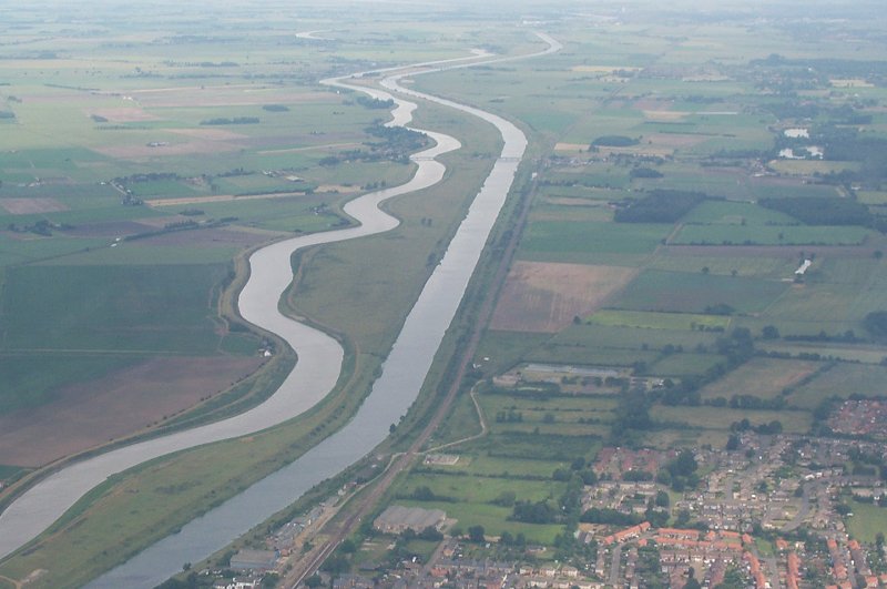
River Great Ouse tidal outfall to the left and Cut-Off Channel to the right.
Downham Market at the bottom.

Denver Complex from the air. To the bottom is the Relief, then Cut-Off Channels.
The new entrance lock to the Cut-Off Channel shines out with its new white
sides. Above this is the Ely Ouse exiting through Denver Sluice (on angle), or
straight on into Cut-Off Channel through the AG Wright Sluice. Above this is the
New Bedford River / Tidal River Great Ouse to right of Denver Sluice.
There is a Fox Hire narrowboat on the tidal section between Denver and Salter's
Lode! Next downstream is the Old Bedford Sluice and Old Bedford leading away to
the left parallel to the New Bedford River. Just beyond this is Salter's Lode
Sluice and Well Creek wiggling away to the top of picture.
Home Page | "Earnest" | "Beatty" | Canal Restoration